

In this guideThe island at a glance
The island at a glance
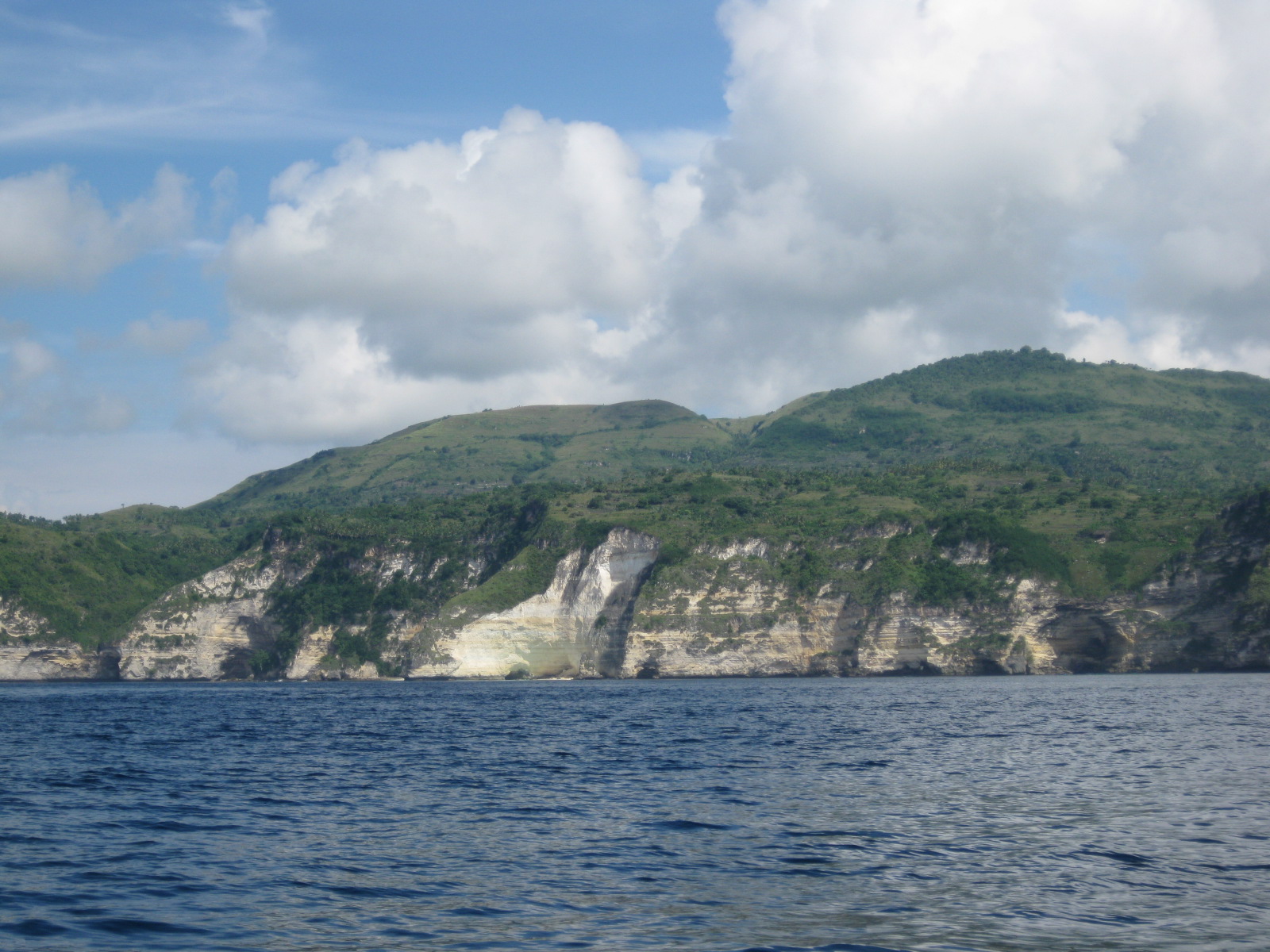
Nusa Penida sits southeast of Bali across the Badung Strait. It’s the biggest of the three Nusa islands; Nusa Lembongan and Nusa Ceningan are much smaller and lie off its northwest corner. All three belong to Klungkung Regency and form one district, Kecamatan Nusa Penida, with 16 villages and 48 customary villages (desa adat).
BPS Klungkung puts the district at 202.84 km² with 65,822 registered residents at the end of 2024. Leave out the two villages on Lembongan and Ceningan and, by our sum of the BPS village tables, Nusa Penida island itself is about 193 km² with about 56,400 people.
It’s a hilly limestone island. The interior rises above 500 m at Puncak Mundi, sheer cliffs line much of the west, south and east coasts, and the north coast is a flatter strip of villages and harbours. Roads climb and twist, so drives take longer than the map suggests.
Where the boat lands
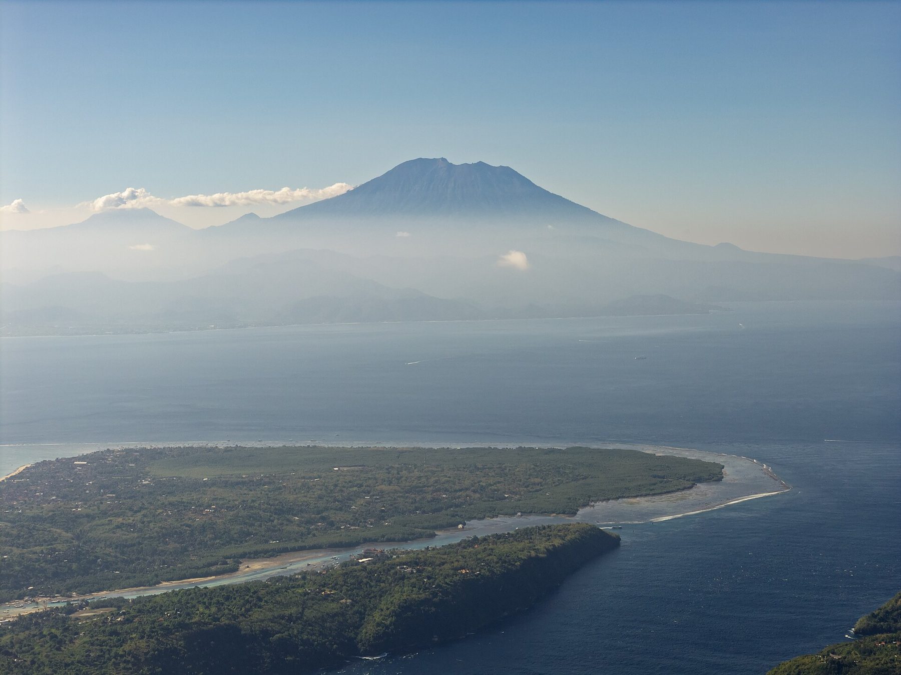
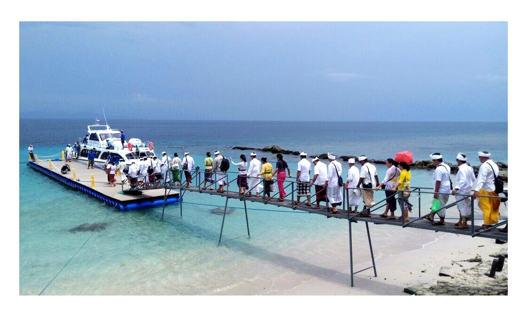
Most fast boats from Sanur land at Banjar Nyuh, near Toyapakeh on the northwest coast. Boats from Kusamba and some from Sanur use Sampalan or Buyuk in the northeast. The crossing takes 30 to 45 minutes at sea.
Send the harbour printed on your ticket to your driver. Our harbour guide shows which one fits your hotel, and the Sanur boat guide lists departures. Foreign visitors pay a Rp25,000 arrival levy per adult (Rp15,000 per child aged 4 to 13) once on arrival.
West, east and north
- West coast (Bunga Mekar and Sakti villages): Kelingking, Broken Beach, Angel’s Billabong, Paluang Cliff and the beach at Crystal Bay.
- East coast (Pejukutan and nearby): Diamond Beach, Atuh, the Rumah Pohon tree houses and Thousand Islands Viewpoint, plus Goa Giri Putri cave temple on the way.
- North coast: the harbours and the towns of Toyapakeh, Ped and Sampalan, with most shops, ATMs and restaurants, and the snorkeling boats to Manta Point.
The two coasts are about 1 to 1.5 hours’ drive apart. Read west vs east if you can only do one.
Choose your main outing
- A west tour: the famous clifftop views, then the beach at Crystal Bay. See the west day tour guide.
- An east tour: the tree houses, Diamond’s carved staircase and lunch at Atuh. See the east day tour guide.
- Snorkeling: reef stops and Manta Point by boat. Manta sightings are never guaranteed. See the snorkeling tour guide.
- A beach day: stay near your hotel and enjoy the sand, food and sunset.
Don’t put two of these in one day; the drives and stair climbs add up.
How long to stay
We recommend three days and two nights. Arrival and departure days go on the boat and hotel transfers, so two nights give you one full day. Four nights let you do both coasts and snorkeling. See how many days to plan and day trip vs overnight.
Where to stay
- Toyapakeh or Ped: a short ride from Banjar Nyuh, with food and snorkeling pickups nearby.
- Crystal Bay: beach mornings and sunset. Stay below the hill if you want to walk back; the uphill road has no streetlights.
- Sampalan or Batununggul: the eastern harbour, town shops and a shorter drive to the east coast.
Check the hotel’s map pin, not just the area name in the listing.
Getting around
There’s no Grab, Gojek or metered taxi on the island, according to Nusapenida.org’s September 2026 guide. A car with a driver is the easy choice for a first visit; scooters suit experienced riders. Most main roads are paved now, but side roads to the coast are steep, narrow and rough in places. Read getting around Nusa Penida before you choose.
Money, signal and packing
Bring rupiah from Bali for small warungs and parking. Hotels, restaurants and shops often take cards, and the attraction tickets are cashless. Our ATM and payments guide covers the ATMs near Banjar Nyuh and Ped and card fees.
Set up your SIM or eSIM before the boat; signal drops at remote beaches and behind hills. See the mobile signal guide and the packing list.
Temples and island life
Nusa Penida’s temples and ceremonies are Balinese Hindu, and the island has its own Balinese dialect. Pura Dalem Ped on the north coast is one of Bali’s most important pilgrimage temples: Nusapenida.org notes that Balinese Hindus aim to visit it at least once in their lives. Goa Giri Putri and Pura Puncak Mundi on the island’s highest hill are also major temples.
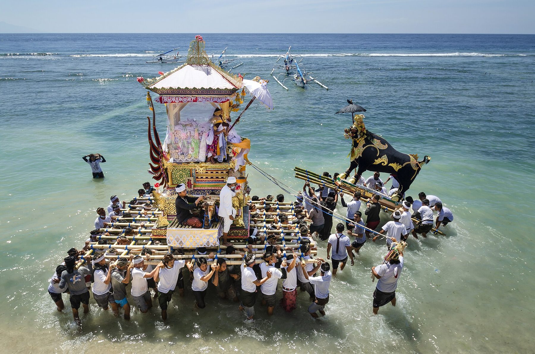
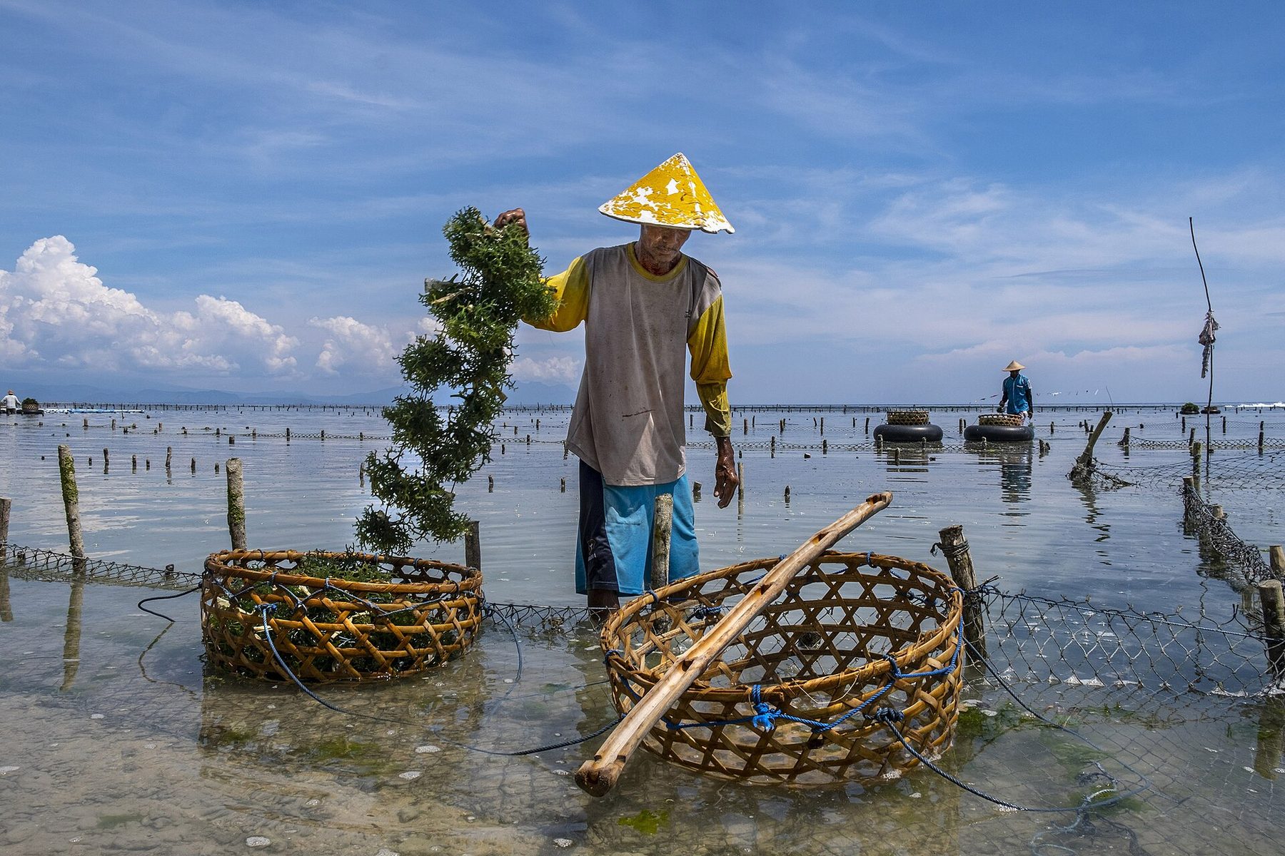
Wear a sarong and sash to enter a temple, and give way to processions. Ceremonies such as a ngaben (cremation) can close a village road, so allow some slack in your plans. Fishing, farming and seaweed farming in the shallows are the island’s traditional livelihoods.
Staying safe
- Cliffs: stay behind barriers and on marked paths. People have fallen while posing at Broken Beach.
- Sea: don’t plan to swim at Kelingking or Diamond, and don’t enter the pool at Angel’s Billabong. Check the BMKG harbour forecast before boat days.
- Roads: don’t learn to ride a scooter here, and avoid unfamiliar roads after dark.
The safety page has more, and our fee guide covers the levy and attraction tickets.
Plan the details
For a first visit, give your full day to the west coast unless the east or snorkeling matters more to you; the 3D2N plan shows how. Then compare stays and things to do, and book your transport.
Continue planning
More travel guides
Research notes
Sources and verification
Check current boat times, prices and conditions before you go.
We used the sources below. We haven't recorded an on-site check, so ask locally about current access and facilities.
- BPS Klungkung, Nusa Penida District in Figures 2025 (area and 2024 population by village) Source checked Oct 13, 2026
- Klungkung Regency overview of Nusa Penida, villages and tourist sites Source checked Oct 13, 2026
- Klungkung Government, tourism fees from 1 September 2026 Source checked Oct 13, 2026
- Nusapenida.org, culture, temples and history of Nusa Penida (June 2026) Source checked Oct 13, 2026
- Nusapenida.org, getting around and roads (updated 9 September 2026) Source checked Oct 13, 2026
- Wikipedia, Nusa Penida (background: highest point, district) Source checked Oct 13, 2026
- BMKG marine forecast for Nusa Penida Harbour Source checked Oct 13, 2026